Yes. Mdina's medieval walls sit only about 5 km (3 miles) from Dingli, so the two pair naturally into one outing, cliffside views followed by the fortified city's narrow streets and rooftop views. A private transfer links both stops directly, without backtracking through public routes.
Around 1.5 to 2 hours covers the essentials, a walk along the clifftop trail, photos at St Mary Magdalene Chapel, and a stop at The Cliffs Interpretation Centre. Add extra time if you want to sit down at the on-site restaurant and try dishes made with foraged nettles, borage, and wild asparagus.
The main clifftop path is level and easy, suitable for most visitors. Sharper, steeper pathways branch down toward the sea for those who want a closer look at the cliff face, so sturdy shoes are worth packing if you plan to explore beyond the main trail.
The Cliffs Interpretation Centre explains the geology behind Malta's tallest sea cliffs, and the attached restaurant serves local dishes built around wild edible plants gathered nearby, nettles, borage, and wild asparagus worked into traditional Maltese recipes you won't easily find elsewhere.
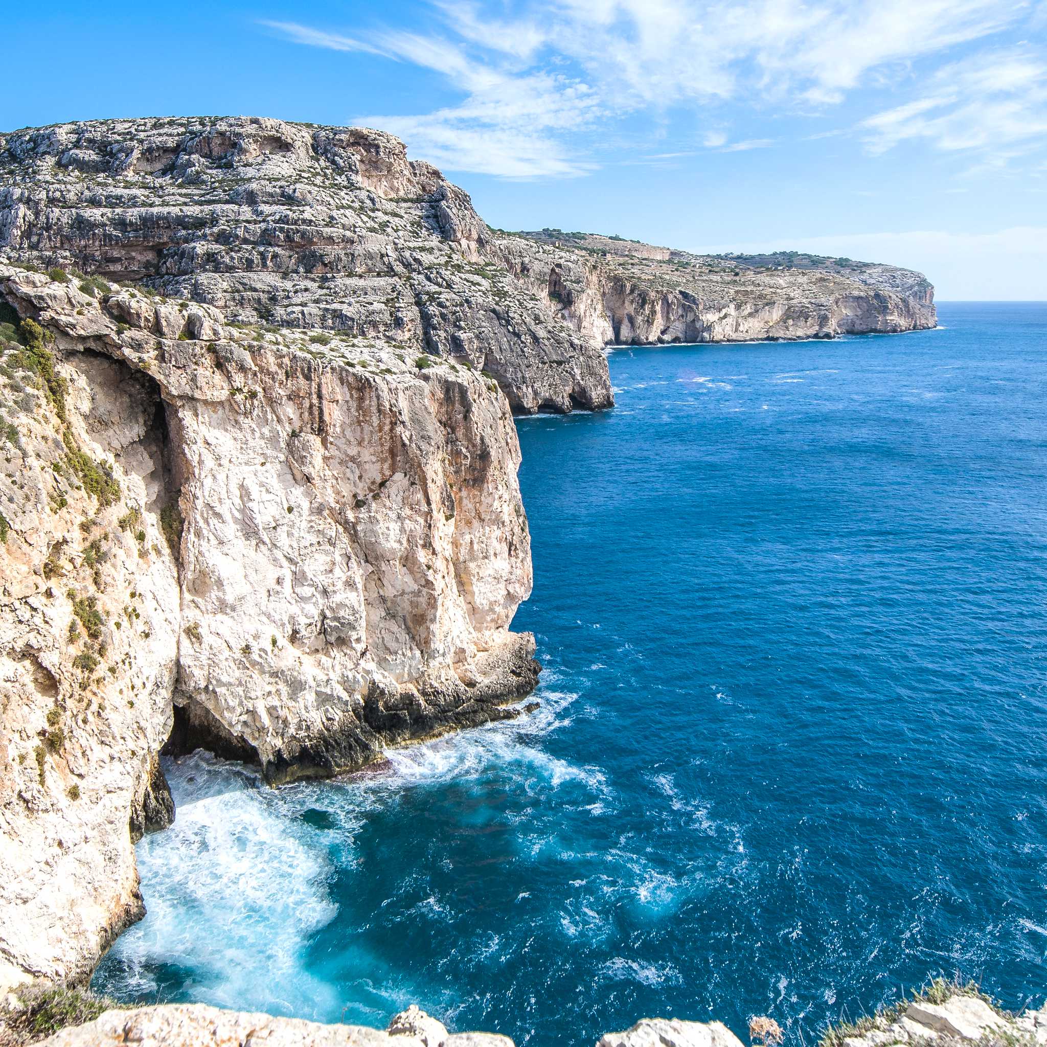
Dingli Cliffs are the highest point in Malta, rising 253 m (830 ft) above the Mediterranean, with a stretch of over 2 km (1.2 miles) between Bahrija and Mungar. From the edge near St Mary Magdalene Chapel, you get uninterrupted sea views and a clear look at Filfla, the small uninhabited islet just offshore, a vantage point few other spots on the island can match.
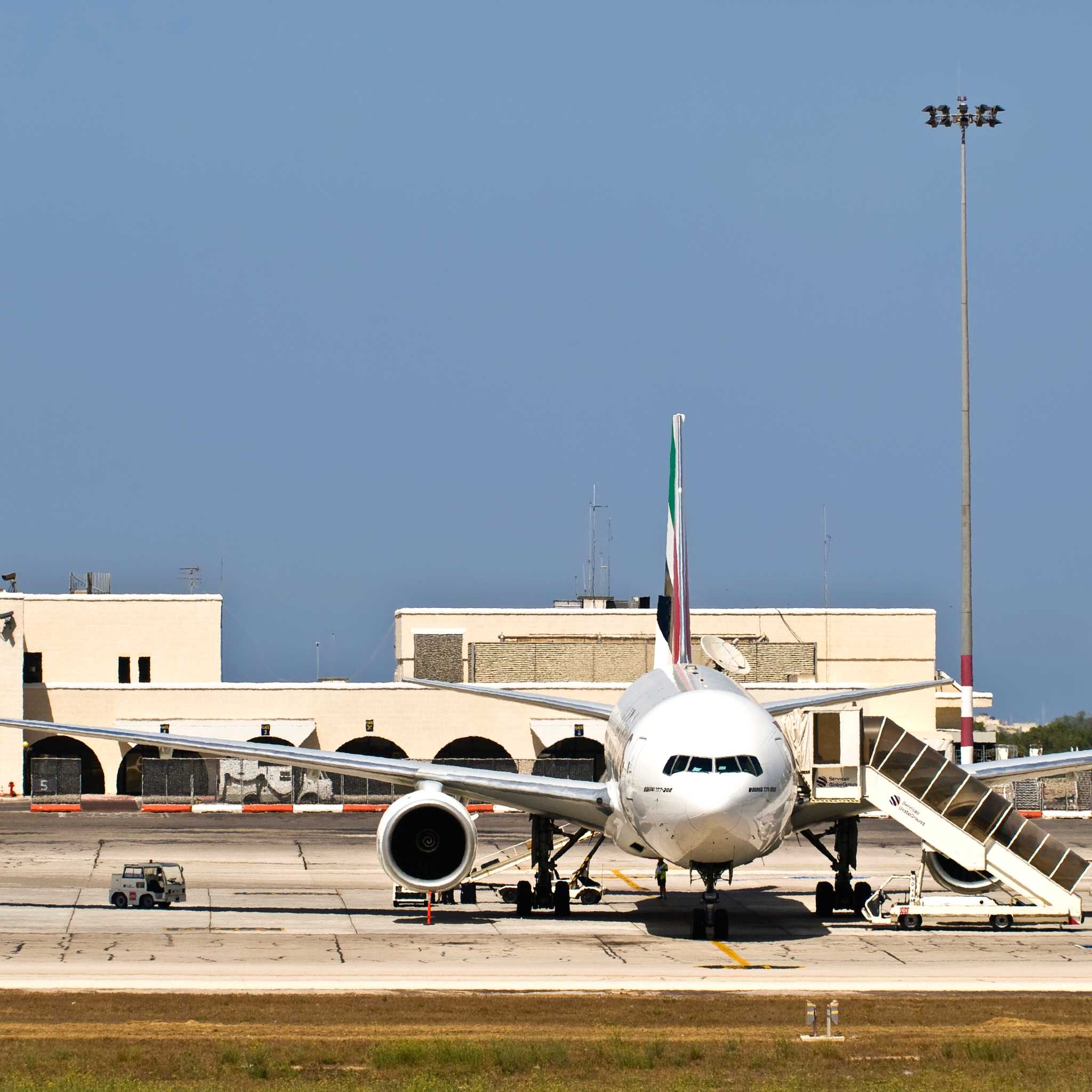
Dingli sits about 13 km (8 miles) from Valletta and around 12 km (7 miles) from Malta International Airport, short distances on the island but ones best covered by road, since public transport to the cliffs runs on limited routes. A private transfer drops you right at the clifftop, so there's no walk from a bus stop or wait for a connection.